Lidar-Guided Orbit Around a Bamboo Culm

Overview
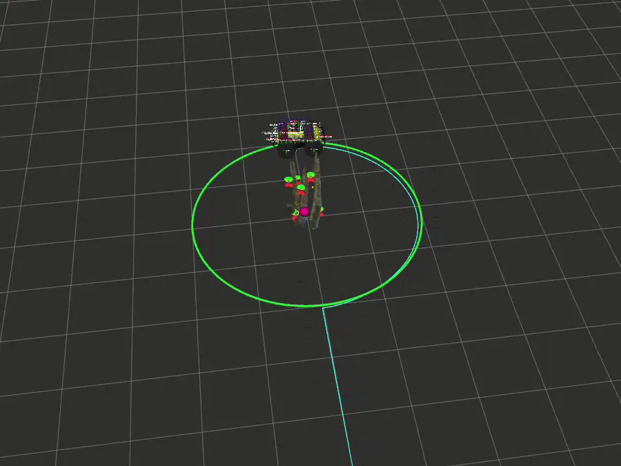
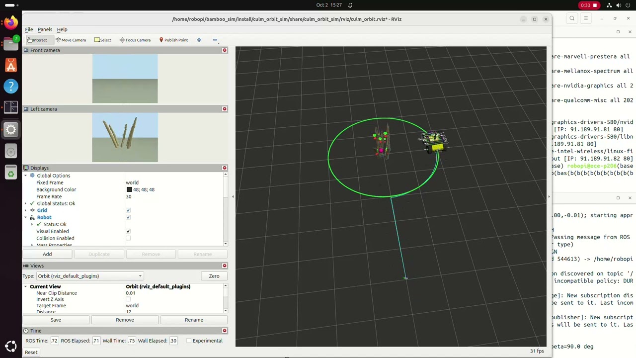
A Clearpath Husky (A200) in Gazebo, with a 2D lidar and two RealSense cameras, drives one lap around a bamboo culm bundle at a fixed radius while recording the cameras. You click near the culm in RViz and the robot does the rest. The bundle is seven tilted sticks built from a real point cloud, so the lidar sees seven small, uneven circles, not one cylinder.
Approach
State machine: IDLE (check the click against the lidar) → APPROACH → ALIGN (turn side-on, start recording) → ORBIT → DONE, with a LOST state and a safety stop.
Detection. The detector registers the bundle’s known seven-circle footprint to the scan: a coarse grid search for the first fix, then Gauss-Newton with a Huber loss and weak priors, so one or two visible sticks are enough. Fixes with too few inliers, a high residual, or a jump over 25 cm are rejected; accepted ones are low-pass filtered.
Control. A guiding-vector-field orbit law, where heading error decays as δ' = -k_β·δ:
e = r - R
beta_d = s * (pi/2 - atan(k_r * e))     # desired bearing to the center
delta = wrap(beta - beta_d)
v_cmd = v * max(0.3, cos(delta))
w = (v_cmd / r) * sin(beta) - beta_d_dot + k_beta * delta
Lap counting. The swept angle is measured in the culm’s frame, using its tracked orientation, which cancels skid-steer yaw drift in odometry.
Sim and logging. Gazebo runs headless, and the robot spawn waits for /clock (otherwise the EKF failed about 1 launch in 14). The launch publishes the camera optical-frame TFs that Clearpath’s model leaves out. Runs record to MCAP + zstd bags, with the recorder started before the lap and stopped off the control thread.
Results
One lap at R = 2.0 m and 0.25 m/s, scored against Gazebo ground truth (used for evaluation only, never by the controller):
| RMS radial error | Whole lap | After 5 s settling |
|---|---|---|
| Ground truth | 11.7 mm | 6.5 mm |
| Lidar estimate | 10.9 mm | 5.0 mm |
Lap time was 52.6 s, with 0 s lost.
Next steps
Move it to the real Husky, measure the footprint of a real bundle (or estimate it during the approach), and replace the click with automatic detection.
Gallery
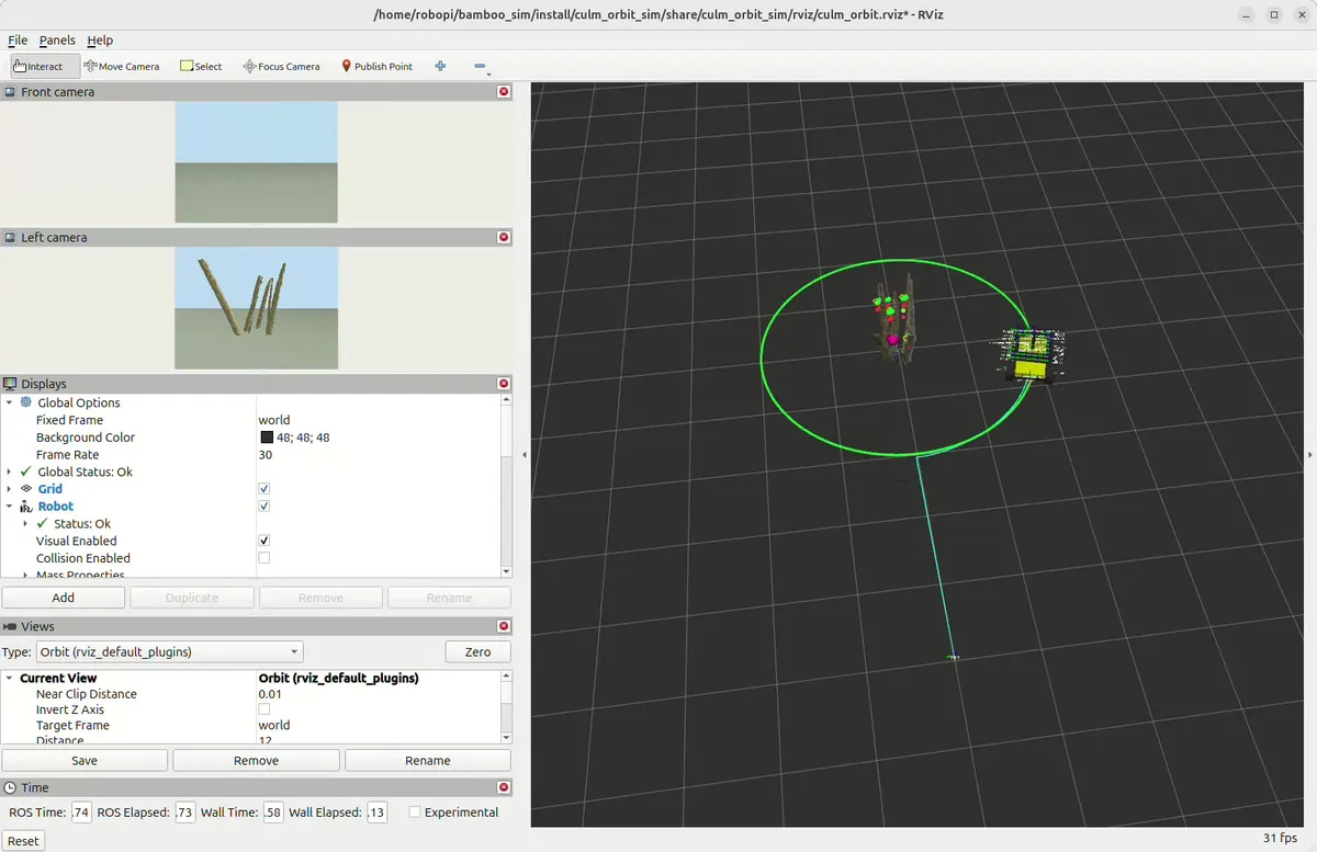
Mid-orbit. The left camera keeps the culm in frame for the whole lap, which is what the recorded bags are for.